Super Interactive Maps for WordPress
$3.95
Lifetime update
Files directly from the developer
Unlimited use of the website
Full of advanced features
Fast and secure payment
Regularly update new versions
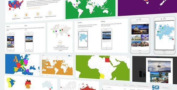
Super Interactive Maps for WordPress is a premium plugin that allows you to build highly customizable and engaging maps for your website. Using Google GeoChart API, it lets you showcase countries, continents, states, regions, and custom locations with interactive features like markers, tooltips, and clickable links.
Key Features:
- Interactive Vector Maps – Create maps of the world, continents, countries, and states.
- Customizable Markers & Regions – Add unlimited markers with tooltips, links, or custom colors.
- Tooltip Support – Show additional information on hover for better engagement.
- Clickable Links – Link map regions or markers to internal/external pages.
- Wide Map Coverage – Supports over 300 maps (countries, continents, subdivisions).
- Custom Colors & Styles – Match maps with your site’s branding.
- Multiple Map Instances – Add multiple maps on the same page or across your site.
- Google GeoChart API Integration – Reliable and lightweight rendering.
- Easy Shortcode Integration – Embed maps anywhere using simple shortcodes.
Last Version:
v2.4
License Type:
GPL License
Last Update: Sep 24, 2025
By Publisher:
Highwarden
Live Demo


